Liberty, when it begins to take root, is a plant of rapid growth.
-George Washington
Source: http://www.brainyquote.com/quotes/authors/g/george_washington_3.html
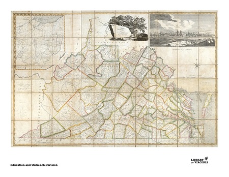
Picture source: http://www.virginiamemory.com/online_classroom/lesson_plans/my_county_tis_of_thee:_counties_of_virginia
Overview of Unit
This unit is designed for a classroom of fourth graders at Beech Tree Elementary in Falls Church, VA. The classroom contains 24 students. On a survey taken by the teacher, many of the students indicated that they are visual and kinesthetic learners, so hands on activities are a must for this unit. This unit is one of the first units in the fourth grade history SOL’s, and would therefore most likely be taught towards the middle or the end of first quarter (October-November). This unit will serve to provide students with an overview of Virginia's history, including Virginia's geographic position, five regions, water features, and development/ settlement features
In lesson one, students will learn to label and identify Virginia and it’s bordering states, as well as the major bodies of water that surround Virginia. In lesson two, they will focus on Virginia, and will learn to locate and describe the regions of Virginia (Virginia’s Coastal Plain /Tidewater, Piedmont, Blue Ridge Mountains, Valley and Ridge, and Appalachian Plateau). In lesson three, the students will learn to identify the water features that were important to the early development of Virginia (Atlantic Ocean, Chesapeake Bay, James River, York River, Potomac River, Rappahannock River, and Lake Drummond and the Dismal Swamp). In the fourth lesson, the student will use their experience from a field trip to Great Falls to gain an understanding of how water features contributed to the development of Virginia. In the final lesson of the unit, the students will synthesize their knowledge about water features by justifying their reasoning for wanting to settle in Virginia in the 1700’s.
Year-long Question
How does geography and the environment influence people’s lives?
Essential Unit Question
What geographic features were important to the development of Virginia’s history?
Sub Unit Question
How did water features play a valuable part in the settlement of Virginia?
